🏛️ Lieu
Patrimoine & Culture
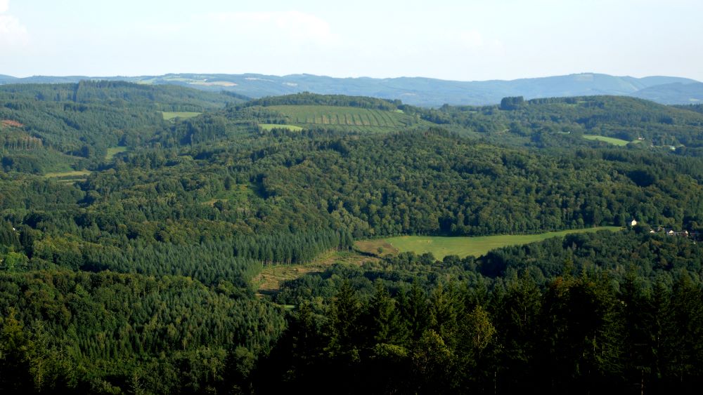
Table d'orientation du Mont-Cé
📍 Chamberet, Corrèze
· Mont Ceix, 19370 Chamberet
À propos
Mont-Cé is a wooded hill located to the north-east of the Chamberet commune, its highest point at 729 m. The eponymous village was written "Moncet" in the 1819 land register. All that remains are the bases of the walls (houses and gardens), swallowed up by vegetation, and the Saint-Nicolas chapel dating from 1804, restored in 2010. The small clearings, lined with majestic old beech trees, are quiet, shady picnic spots, popular with walkers.
The Mont Cé orientation table is an integral part of the "Circuit des bonnes fontaines du Mont Cé".
The Mont Cé orientation table is an integral part of the "Circuit des bonnes fontaines du Mont Cé".